INTRODUCTION
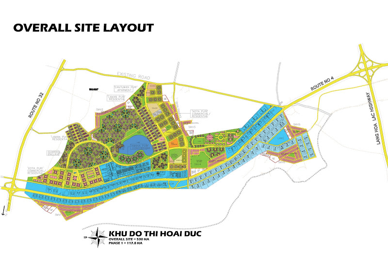
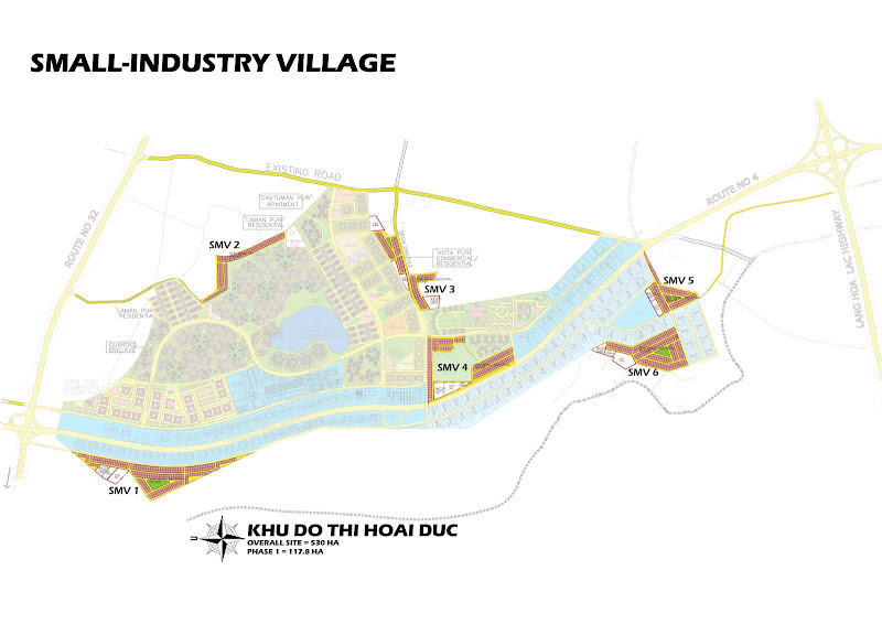
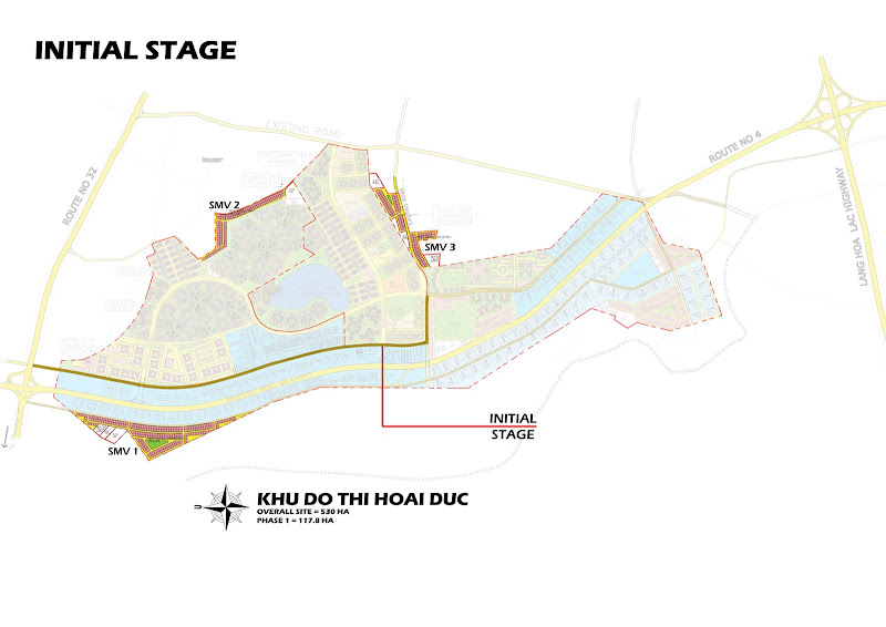
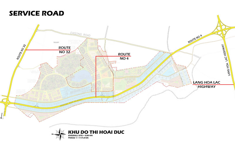
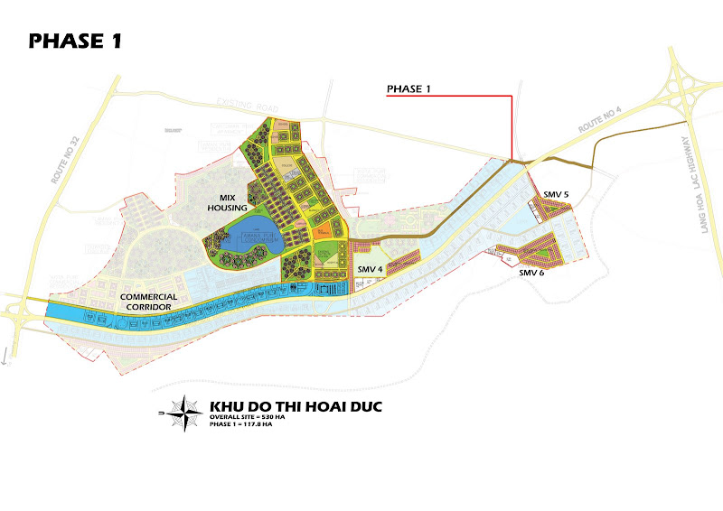
The site that we wish to develop is 15km west of Hanoi, along Route 32 and Lang Hoa Luc Highway. Cutting through the site is the alignment of proposed Route 4. This land in the district of Hoai Duc is in the province of Ha Tay bordering Hanoi. We have identified 530ha of agricultural land, used for planting padi. Although an estimated 2500 householders work on this land, it is obvious that the income gained from working an average 0.2ha per household is very low; this land is a valuable resource that can be better utilized.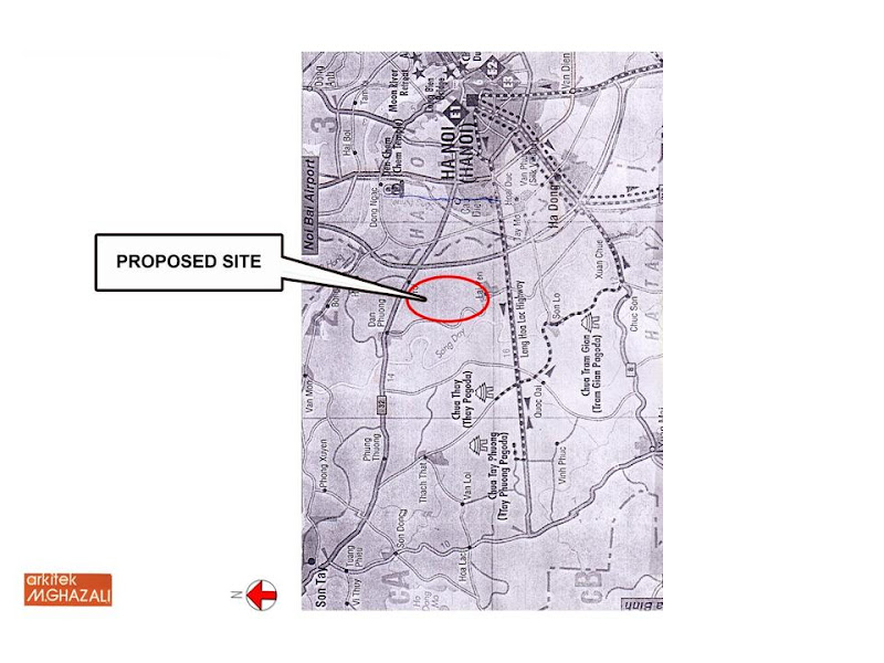
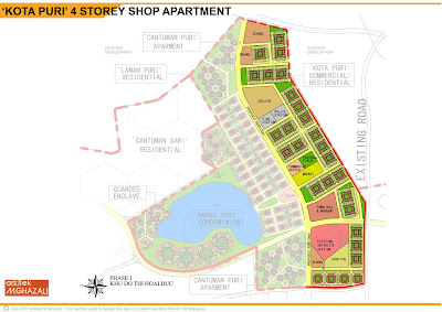
Location and Site Plan
The current economic situation in in Hanoi points to the opportunity that exist to use this land to overcome some acute problems faced in the rapid process of modernization and urbanization in Vietnam:
- There is a large demand for housing, where Hanoi residents have to live in very overcrowded conditions
- Land for commercial and industrial use is scarce and expensive, providing a disincentive to investment
- The fast growing capital city is lagging behind in infrastructure; there is an urgent need to decentralize Hanoi with modern development along the outer ring of the city along Route 4 to cope with the rapid pace of urbanization
- Vietnam has a big young population that is looking for employment and economic opportunities: the country is shifting from an economy based on agricultural to a multi-sectoral economy integrated with the world
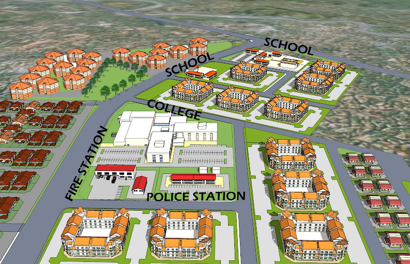
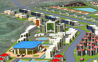
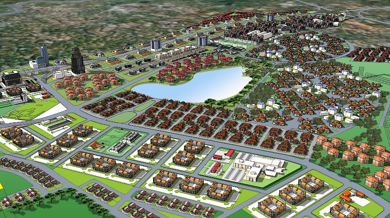
Our proposed development seeks to transform the agricultural land into a township that will supply modern housing; that will offer land for productive commercial and industrial use; which will contribute to upgrading the roads and other infrastructure in Greater Hanoi: to help it keep pace with rapid urbanization; to generate local and foreign economic investment and provide jobs and business opportunities. The removal of existing houses is minimized; the displacement of farmers from their land will be attractively compensated for their loss of income with a combination of payment in cash and kind.

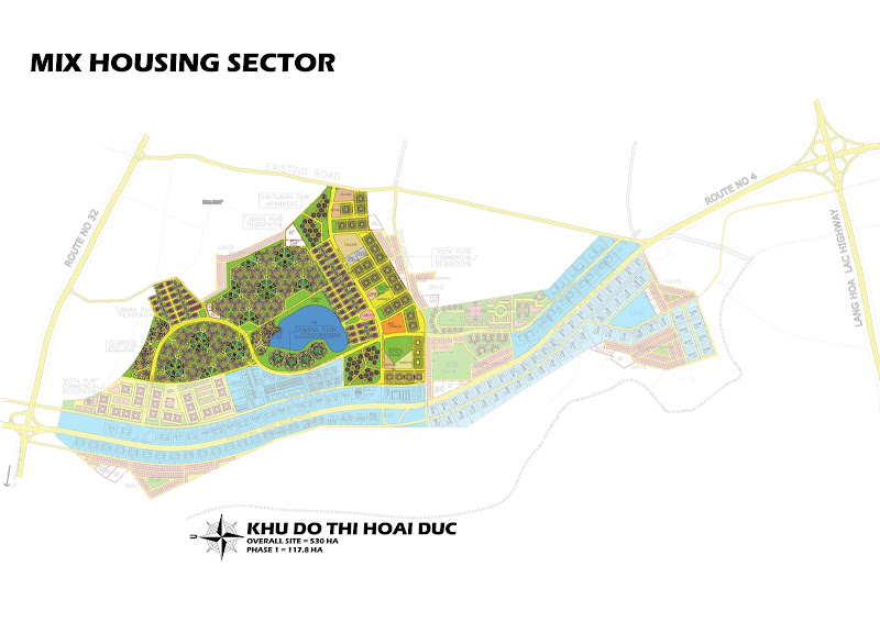
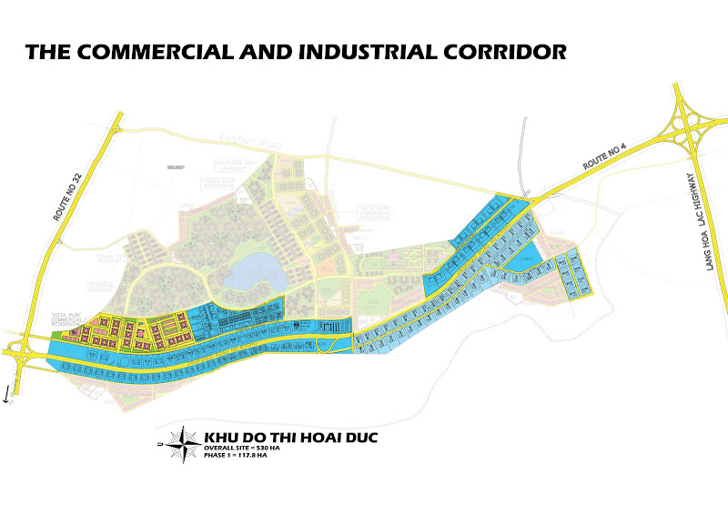
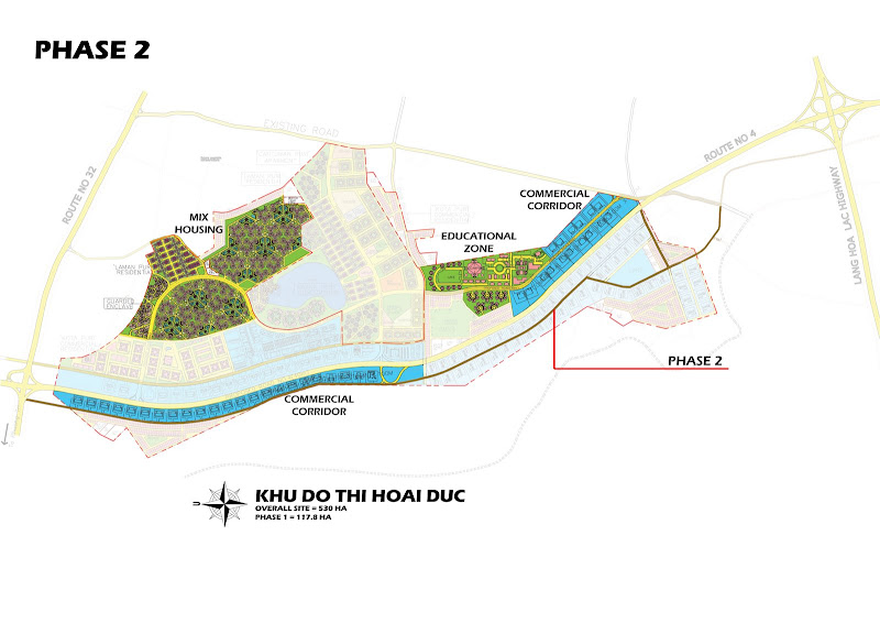
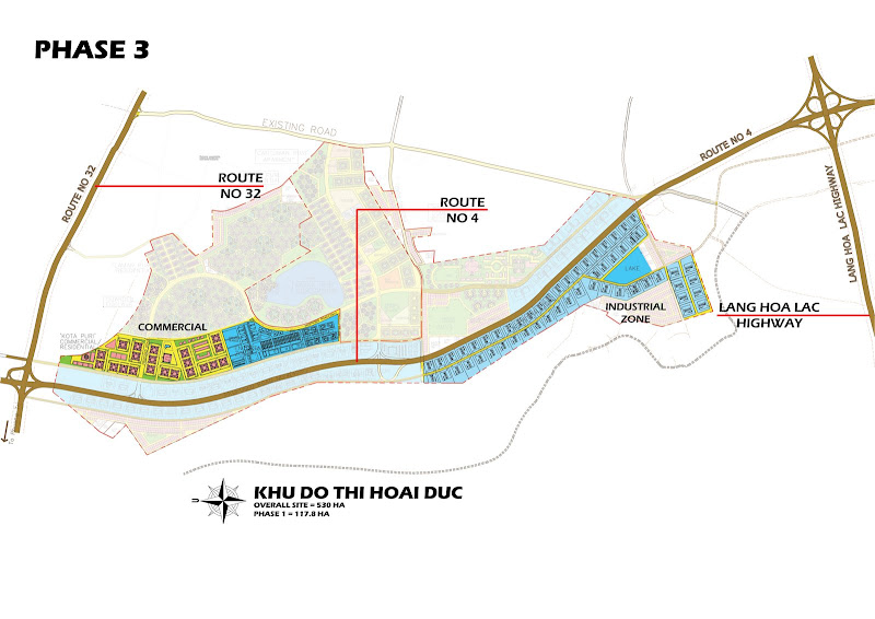
Site plan

